Aerial (Drone) Roof, Awning, Exterior Inspection, Photogrammetry, Mapping
For Contractors, Real-Estate Agents, Home Owners, Potential Home Buyers
Know What You Are Buying – Drone Inspections Starting at $125

Aerial Drone Inspection Benefits
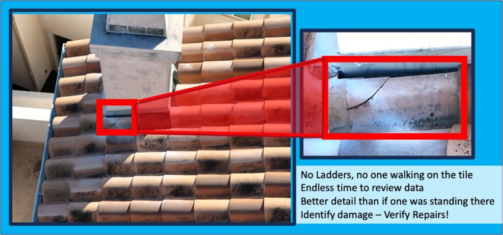
Aerial home inspections are safe, quick, and inexpensive way to determine exterior, roof, and awning conditions and to verify repairs.
Repeatable and Unique Routing: For each project we develop a unique programmed repeatable aerial route with photo overlap, creating a visual timeline of changes, valuable for development timeline presentations.
No Tile Damage: An aerial inspection does not damage fragile roof tiles, because nothing touches your tile.
Time for Review: Aerial inspection results are permanent and received quickly, giving clients time to review and re-review any area
Enhanced Safety: Drones eliminate the need for personnel to access potentially dangerous areas, reducing the risk of falls and injuries.
Aerial Drone Inspection Products
Complete Convenient Aerial Inspection Report
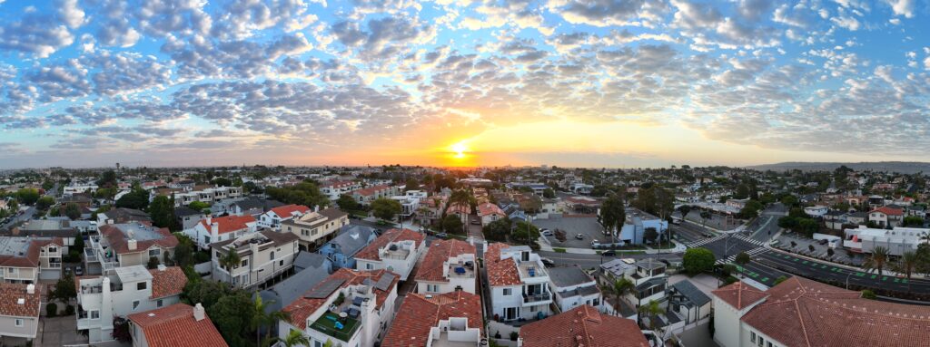
Inspection Reports consist of Summary Page(s) of all Pertinent Photos linked to HD photos, an overall pic of the inspection area, path flown, all pics taken, and, at the customers request, panoramas, orthomosaics, and / or 3-D photogrammetry


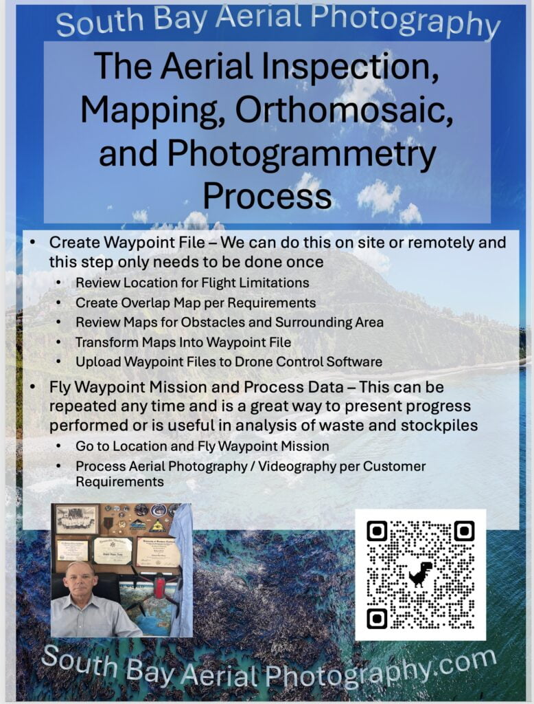
The Inspection process begins with location of the area, FAA restrictions of the area are noted, and a map of the Inspection Area is generated
The drone flies the mapped path automatically while avoiding obstacles
- Historical Record Keeping: Regular drone mapping creates a visual timeline of changes over time, valuable for project tracking and historical reference
- High-Resolution Imaging: Drones capture high-quality images and videos, providing detailed visual documentation that is essential for accurate assessments
- Comprehensive Data Analysis: Aerial and drone HD photographs and videos enable detailed analysis, revealing issues that manual inspections miss
- Reduced Downtime: Arial inspections minimize disruptions to operations
- Flexible Access: Drones can reach hard-to-access locations easily, ensuring thorough inspections in places that are otherwise challenging or risky


Aerial (Drone) Photogrammetry and Mapping
- Transform project analysis with our high-detail 3D photogrammetry models and orthomosaic mapping of sites or structures
- Repeatable and Unique Routing: A unique programmed repeatable aerial route with photo overlap is developed for each mission, which can then be repeated to allow comparison over time
- Historical Record Keeping: Regular drone mapping creates a visual timeline of changes over time, valuable for project tracking and historical reference.
- High Accuracy: Drone mapping and photogrammetry deliver precise measurements and detailed data, ensuring reliable results for planning and analysis
- Speed of Data Collection: Using aerial mapping, large areas can be surveyed in a fraction of the time required by traditional methods, increasing efficiency
- 3D Modeling Capabilities: Aerial (drone photogrammetry allows for the creation of detailed 3D models, enhancing visualization and project understanding.
- Accessibility: Drones can reach difficult or hazardous locations safely, ensuring thorough data collection in challenging environments
- Environmental Monitoring: Aerial (drone) mapping and photogrammetry aids assessing environmental changes and impacts, supporting sustainable practices
Search the website
Popular Categories
SBAP Aerial Photography and Videography Services
Expertise, Certification, Safety

Your pilot is an FAA certified UAS Licensed Pilot, an aerospace engineer (MSEE from USC), and a Veteran (Army Infantry – 11H). We assure a safe enjoyable experience and a commitment to excellence. Our drones come equipped with the latest AI-enhanced features, including automated flight and obstacle avoidance systems.
Contact Us

South Bay Aerial Photography
SoutBayAerilPhotography.com
Redondo Beach, CA
Edward@SouthBayAerialPhotography.com
310-292-1583


